Glendale, Skye - Tourist Guide
The Walk to the Summit of Waterstein Head
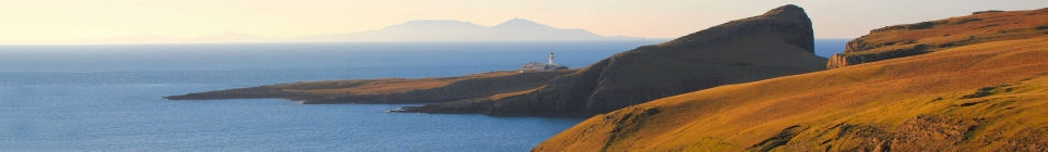
A short walk to the Trig Point on Waterstein Head, giving astounding views. 2-3 miles. 2 hours.
Getting There
From Milovaig, follow the road back towards Glendale and take your first right onto the Neist Road. You can either walk, or take the car.
Continue along this road as it gently climbs uphill and park in the lay-by on the left hand side when you reach the summit. This is at the point where the road begins to descend steeply down to Waterstein.
The Walk
Running at 90 degrees to the road, to your left, you will see a stone/turf dyke running along the ridge towards Waterstein Head. Follow the ridge, as it climbs towards Waterstein Head, and then continue along the edge of the cliff, on a well-worn track until you reach the summit and Trig Point (970 feet above sea-level).
The views are incredible, through 360 degrees: with MacLeod’s Tables behind, Lorgill Bay to your left, the Western Isles ahead, and Moonen Bay/Neist to the right.
For those wishing to extend the walk, it is possible to continue along the cliff top, towards Ramasaig, and cut across the moor to join up with the Ramasaig road, or re-trace your steps back to the lay-by.
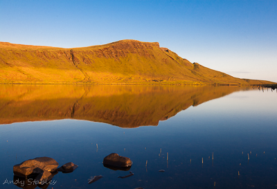
Waterstein Head reflected in Loch Mor.
Waterstein Sightings & News
16th Jul 2026
There were six harbour porpoises around Neist Point in the morning.
15th Jul 2026
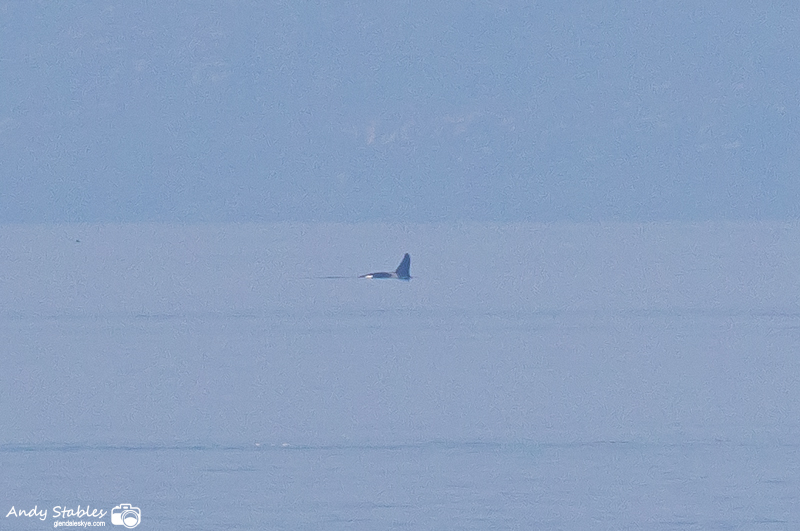
Orca - Neist Point
July 2026
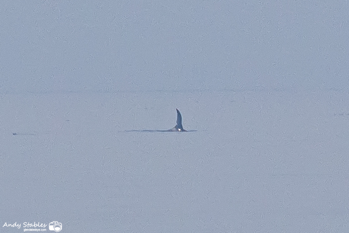
Orca - Neist Point
July 2026
At 12:10pm, our two world-famous orcas, JC & Aquarius, were off Neist Point on the horizon over towards Barra. They gradually worked their way northwards and were off North Uist at 1pm when I left. There were also two distant minke whales off Neist, towards South Uist. Only the 2nd and 4rd sightings of minke this year. A pod of at least 12 common dolphins were breaching and slplashing west of Neist in the morning and there were at least 7 harbour porpoises around the point at mid-day.
12th Jul 2026
There was a single harbour porpoise, close in, around Neist in the morning plus a very distant basking shark and a small pod of common dolphins towards Canna, as viewed from Neist.